
Woodburn ZIP Code Directory Coverage
Official sources reviewed for Woodburn confirm one local postal code: 97071. It is used by municipal addresses, downtown and library addresses, school district contacts, and other Woodburn public pages. That confirms a local delivery label, not a geographic roster. The same postal service area can reach beyond the incorporated city. No official source reviewed here verified a second Woodburn ZIP, a separate post-office-box-only ZIP, or a unique ZIP for a single institution.
| ZIP | Areas covered | Post office | Notes |
|---|---|---|---|
| 97071 | Verified Woodburn municipal, downtown, library, city-office, and school-district address use; the broader delivery area may extend beyond legal city limits. | Woodburn | USPS delivery geography, not a City of Woodburn boundary. Confirm each address with USPS and City GIS. |
The State’s incorporated-city entry uses Woodburn, Oregon 97071 for City Hall, which supports the local use of this code. It does not establish the outer edge of the postal service area. A complete delivery address, not the city name alone, is the unit to verify.
Verify a Woodburn ZIP Code
Use the USPS ZIP Code Lookup first when the question is the delivery code for a particular Woodburn address. Enter the complete delivery address and retain the result with the date checked. USPS can confirm the postal city and ZIP assigned to that delivery point. Its answer does not decide whether the parcel lies inside the incorporated city, inside the urban growth boundary, or in Marion County.
The USPS address interface is the address-level entry point for a Woodburn ZIP code directory check.
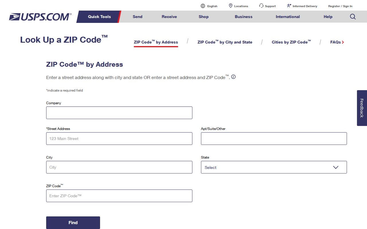
After USPS returns a code, carry the full address forward without dropping direction words or ordinals. City street mapping distinguishes directional versions of numbered streets, and a shortened street name can send a later parcel or permit search to the wrong place.
Find Woodburn Records by ZIP Code
No reviewed Woodburn or Marion County property, GIS, deed, voter, or permit interface accepts ZIP as a field for an all-parcel or all-resident result. A ZIP therefore narrows an address question; it does not replace the address. The workable procedure uses each public tool for the key it actually accepts.
- Enter the complete delivery address in USPS ZIP Code Lookup and save the verified postal result.
- Open Woodburn GIS to compare Current_Addresses, City Limits, Urban Growth Boundary, Taxlots, and street labels for the same location.
- Move the situs address or tax lot to the Marion County Assessor, then record the property ID, legal description, owner field, and mailing-versus-situs distinction.
- Use the legal description, plat, lot and block, township-range-section, party names, or date range in the appropriate Marion County Clerk deed route.
- For a permit question, search by Permit/Application number or Street Number plus Street Name, then select the issuing jurisdiction.
A ZIP can tell a researcher where to begin. It cannot establish the records custodian by itself. For an unresolved deed link, the Clerk makes documents available to search or view at its office without charge, with copies available over the counter or by mail. Once a verified address needs a street-by-street title trail, the Woodburn street directory provides the address-record sequence.
Woodburn ZIP Code Search Fields
The Marion County Assessor property search is the next official tool after postal verification, but its available fields prove an important limit: ZIP is not a search category. Use the site address or map tax lot obtained from the city map. The public form offers four categories and a 50-character criteria field. It does not offer a ZIP-wide result or owner-name category. A successful result is a parcel record, not a list of people in 97071.
| Portal field | Type | Required | Use after USPS check |
|---|---|---|---|
| Search Category | Dropdown | Yes | Select Account Number, Map Tax Lot, Situs Address, or Subdivision. ZIP is not offered. |
| Search Criteria | Text | Yes in practice | Enter up to 50 characters in the format for the chosen category. |
| Search | Button | Yes | Runs the property-record query. |
| Find Property on Map | Link/control | No | Connects a mapped place to a property result. |
| Property Summary | Result navigation | After a match | Opens property, tax, assessment, and improvement information. |
The Assessor data are updated every 24 hours, with the county’s warning that original records control and annual tax-roll certification can affect current values or taxes. If the address cannot be resolved online, the Assessor says staff can provide the owner name and mailing address from an address or location at 503-588-5144.
The assessor’s address-search screen documents the non-ZIP search design used for a Woodburn parcel.
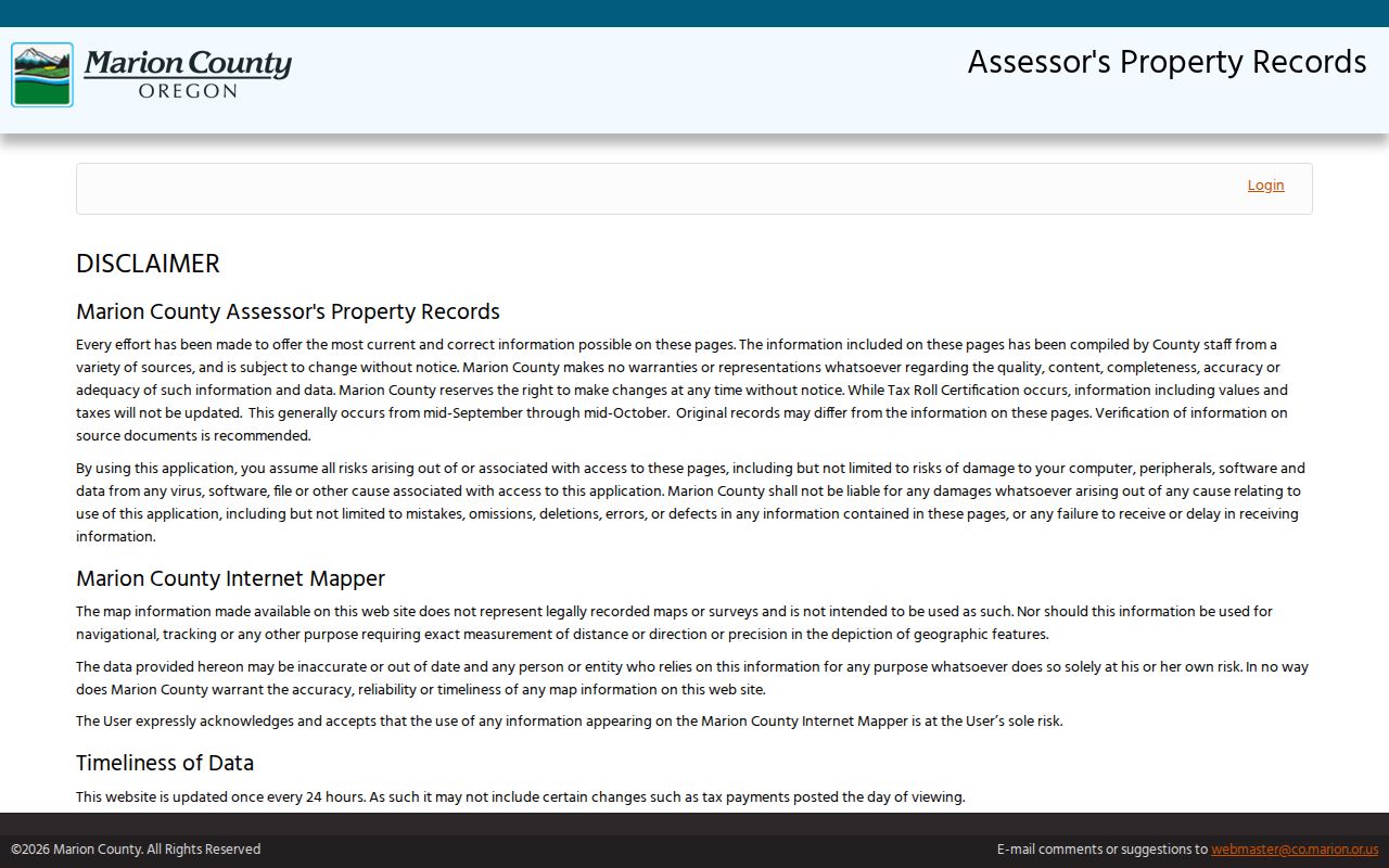
Carry the returned tax lot or property ID into the next records channel. A ZIP is still useful as a delivery check, but the situs and legal description are the durable keys for a parcel and deed inquiry.
Woodburn ZIP Address Keys
Three address labels can appear in one Woodburn property inquiry. The situs address is the physical property location used by the Assessor. An owner mailing address is the destination for tax correspondence and can be elsewhere. The legal description or map-tax-lot identifies the land for recorded-title work. The Clerk’s historic deed search uses parties, date, and instrument type rather than any ZIP field, so a legal key bridges the delivery check to the title trail.
- ZIP
- A USPS delivery-geography label. In this research, 97071 is the confirmed code used for Woodburn addresses, but it is not a city-limit line.
- ZIP+4
- A more specific postal delivery code that should be confirmed for the complete address through USPS, not inferred from a parcel or city boundary.
- PO box ZIP
- A ZIP used for post-office-box delivery. No separate Woodburn PO-box-only ZIP was verified in the reviewed official sources.
- Unique ZIP
- A code serving a single institution or organization. No unique Woodburn ZIP was verified in the reviewed official sources.
Keeping these fields separate prevents a common error: treating a mailing label as a legal description or treating a tax correspondence address as the physical location of the property. The Assessor’s parcel card can display both, which is why it is a useful check after USPS.
Woodburn ZIP Code Boundary Limits
97071 does not draw the City of Woodburn boundary. City GIS publishes City Limits and Urban Growth Boundary layers separately, and an address can be within the UGB or near a city service area without being incorporated Woodburn. Postal geography serves mail delivery; city and county geography assign the proper local records route. Filter a City request by the address, parcel, and boundary layer rather than ZIP text alone.
The Woodburn maps page is the city’s starting point for mapping resources that distinguish this local context.
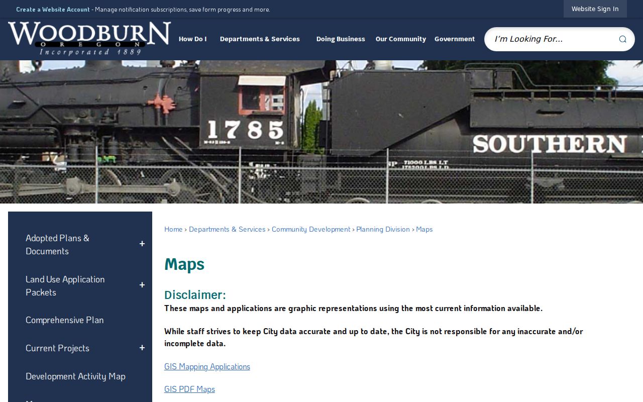
Use a map layer as context, not as a recorded survey. When City mapping and the County’s property map appear to differ, preserve the checked date and ask City Engineering/GIS or the County Assessor or Surveyor which source controls the question.
Woodburn ZIP County Caution
A 97071 delivery label can even cross a records-custodian boundary. Oregon’s drinking-water inventory lists a Clackamas County facility at 33814 S Meridian Road, Woodburn, OR 97071. That documented example means a postal city and ZIP cannot safely be used to send every address to Marion County or the City of Woodburn. Check the actual parcel, county, city status, and tax lot before routing a request to the Marion Assessor, Marion Clerk, or Woodburn City Hall.
This is a local comparison between postal and records geography. USPS decides a delivery label for a complete address. City GIS helps test city and UGB context. County property data identifies assessment geography, while the recorded-document system follows the land and the county custodian. Each source has a narrower role than a ZIP-wide lookup.
Note: Retain the full verified address and tax-lot key when transferring a question between postal, city, county, and Clerk channels.
Woodburn ZIP Map Comparisons
For an older address question, maps come before a ZIP filter. No Woodburn ZIP realignment date or historic conversion table was verified, and no official source captured a postal-boundary map for the city. Instead, compare the place name and period source. Early Woodburn was known as Halsey, so an older record may sit under Halsey, French Prairie, or rural Marion County. Preserve the name and date printed in the source before standardizing it to a modern mailing label.
Woodburn has an unusually useful visual sequence for this work: City 1878 atlas excerpts, six Library of Congress Sanborn editions, City 1961 aerials, and modern tax lots. The sequence helps test street and structure context across eras. It does not show a ZIP boundary and does not identify every person at an address. Use historic directories, records, and maps as dated evidence, then corroborate with the legal description where the property question requires it.
Limits of Woodburn ZIP Searches
A Woodburn ZIP code directory cannot return a verified list of residents, parcels, owners, or households for every address with the same code. The reviewed parcel, GIS, deed, voter, and permit portals are not ZIP-search tools. Postal confirmation is still valuable because it catches an incorrect delivery label before a property or records search begins. It should be followed by the site address, map-tax-lot, and legal-description checks that the official record systems actually use.
Lawful use. Use postal, property, and map records for legitimate personal, historical, property, or civic research. Do not use address information to stalk, harass, intimidate, or harm anyone, and respect protected or redacted records.
If a record is unavailable, ask its custodian about the address, period, and correct access route. A blank search result is not proof that a property, person, or earlier record does not exist.