
Woodburn Neighbors Source Coverage
Public records around a Woodburn address describe parcels, recorded ownership events, map context, and a few historical address listings. They do not create a current household directory. Begin with the City map to place an address and tax lot, then use the County records one parcel at a time. A name from a public file should be tied back to the record date and role before it is treated as useful context for neighbors or block history.
| Source | What It Shows About a Block | Access |
|---|---|---|
| Woodburn City GIS | Parcel geometry, current-address context, streets, tax lots, City Limits, UGB, zoning, and overlays | Public map context; not proof of a person or owner |
| Marion County Assessor | One parcel’s recorded owner, tax mailing address, situs, account, and legal-description fields | Free property search; owner mailing may differ from situs |
| Marion County Clerk deeds | Ownership transaction history and land-description trail for an adjacent parcel | Historic and current document channels; title history is not occupancy proof |
| City permits or public records | Address-specific public action, permit, or inspection history | Focused request through the custodian; exemptions, redactions, and fees can apply |
| Historic directory or street guide | A period-specific name, business, or street clue | Inspect the actual Library or archive volume; coverage and format vary |
| Election records | Only fields lawfully available through the official list process | My Vote is self-service, not a public block browse |
Owner and occupant are different facts. A recorded owner or tax correspondence address can be relevant to a parcel, yet it does not identify every person connected to the property. The same distinction applies to a historic directory entry, which is evidence for its printed period rather than an open-ended account of the block.
Woodburn Neighbors Parcel Flow
The adjacent-parcel method keeps the work tied to public map and land-record keys. Woodburn’s City GIS service publishes Find, Query, and Identify capabilities, along with current-address, tax-lot, street, City Limits, and Urban Growth Boundary layers. The published service supports locating the parcel, but the research did not verify a consumer-facing button that creates a neighbor list or buffer result. Treat each adjoining parcel as a separate record question.
Address → City GIS identify → tax lot or account → Marion Assessor → Clerk Recorder. This is the useful Woodburn flow for a block question. It changes a street address into a land key before adding an owner name or document date.
- Find the starting address in the Woodburn City GIS current-address and street layers, then note its tax lot or parcel key.
- Pan to adjoining tax lots on the same street segment and record only their tax-lot, account, and situs keys at first.
- Move one key at a time into Marion County Assessor Property Records to compare the recorded owner, mailing address, situs, and legal description.
- Use the legal description, plat, block, lot, or instrument details in the Clerk’s document channels when a title-history question remains.
When the question expands from an immediate block to a whole named road, the Woodburn streets directory follows the longer address-record chain without turning map results into a household list.
Woodburn Neighbors Parcel Service
Marion County’s public Parcels Feature Layer offers a more detailed spatial starting point for a block. It can be queried by site address, owner name, tax lot, or property account, and supports geometry or distance queries with pagination. The layer is visible at 1:35,000 or closer. Its fields include site-address parts, plat or lot details, owner name and mailing details, instrument type and date, sale price, zoning, value fields, and property-information links.
The Marion County public parcel Feature Layer is the source for the map-and-field service shown here.
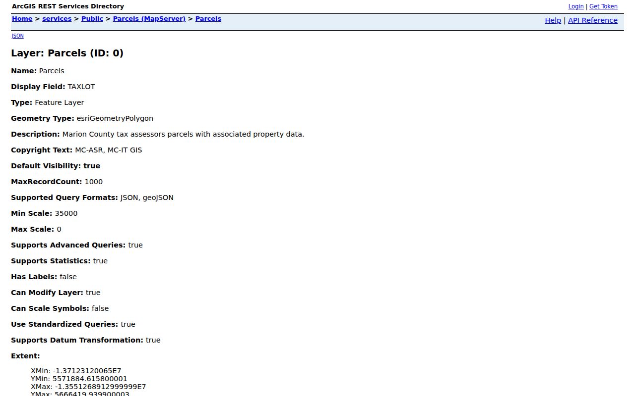
Use the layer to preserve parcel identifiers and inspect one property record at a time. It is a substantial map resource, but it is not a recorded survey and it does not establish a current household.
Woodburn Neighbors Voter-File Boundary
Oregon election records do not turn an address into a public block roster. My Vote allows a person to check their own registration, update it, check ballot status, and find election contacts. It cannot be used for public by-name or by-street browsing. The lawful list route is a Secretary of State request for statewide or less-than-statewide electronic records, or a county election official for local non-electronic formats.
ORS 247.948 describes fields that may be public unless an exception applies, but excludes sensitive identifiers and protected registrations. ORS 247.965 provides a residence-address exemption process for qualifying safety concerns, and Address Confidentiality Program records have stronger protections. Participation data can show whether a ballot was returned as the statute permits; it never reveals a ballot choice. A street-level display of those fields would ignore both the access rules and the privacy boundary.
Woodburn Neighbors Association Contact
Community groups can offer a direct, consensual route to a neighborhood event or question, but they are not parcel rosters. The research found a public contact layer for Heritage Park Neighborhood Association. It did not find a current City umbrella directory, and Woodburn Historic Neighborhood Association appears in historical City material without a verified current roster or public contact directory. That absence matters: do not infer association membership from a map label or parcel location.
| Association or source | Public contact layer | Not a public source |
|---|---|---|
| Heritage Park Neighborhood Association | Board email, contact form, newsletter and meeting invitation, plus covenant and noncompliance documents | No member or household roster is published |
| Woodburn Historic Neighborhood Association | Named in historical City material | No current public contact directory or roster was verified |
| Citywide neighborhood layer | Planning and City materials recognize development areas | No official City umbrella association list was found |
The Heritage Park Neighborhood Association contact page is the source for the public materials shown below.
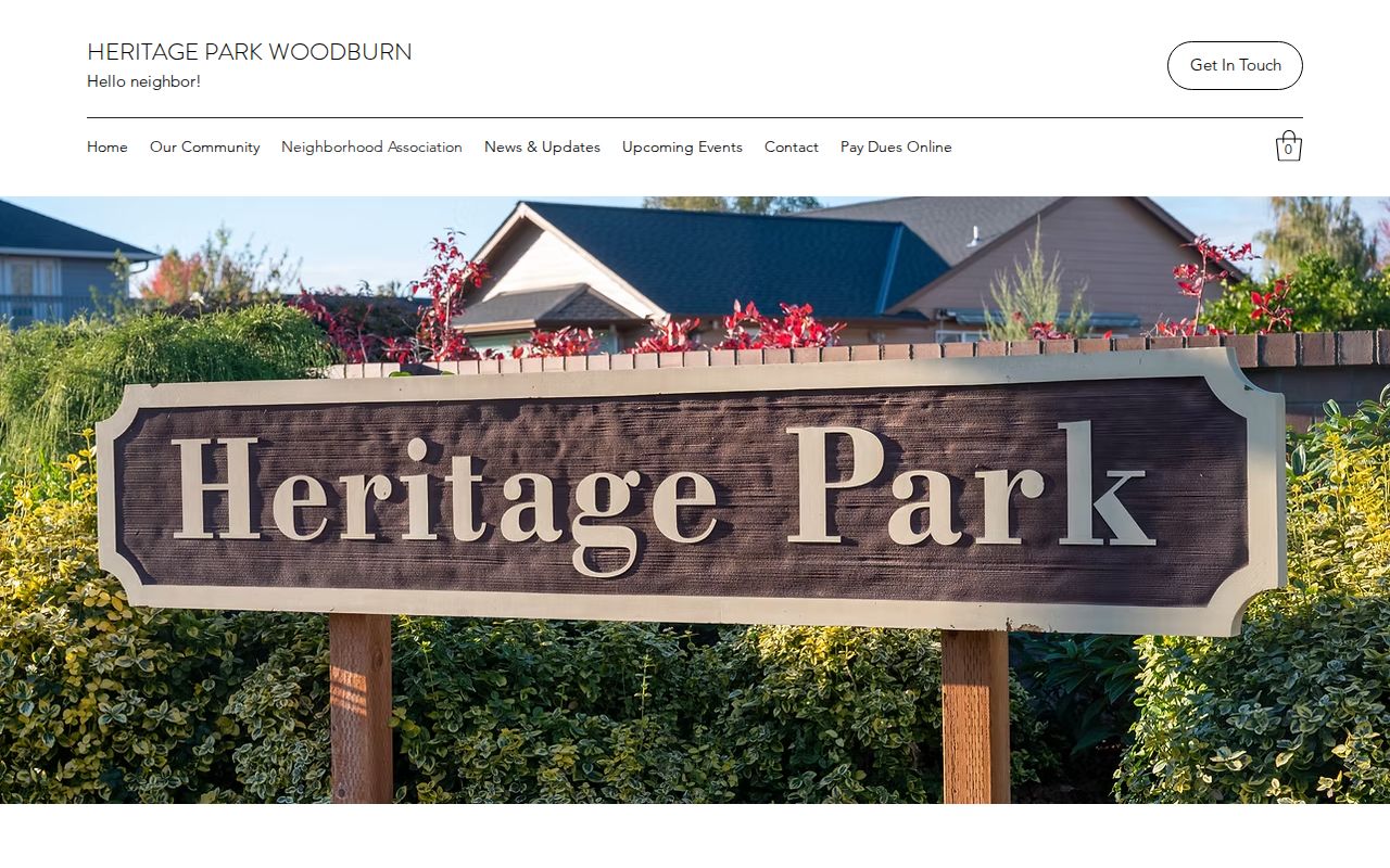
Use the published contact route or a meeting invitation for community communication. Do not treat its public documents as proof that any particular household belongs to the association.
Woodburn Neighbors Across Boundaries
City Limits, the Urban Growth Boundary, and a neighborhood name answer different geographic questions. The City GIS service separates City Limits and UGB layers. The City Comprehensive Plan identifies areas such as historic downtown, the 99E and I-5 corridors, Four Corners, and Woodburn Estates, but planning descriptions do not create association boundaries or membership lists. A tax lot near a boundary should be checked in the City and County mapping layers before a request is routed.
Postal geography adds another distinction. The Woodburn ZIP can extend beyond legal city limits, and a documented 97071 address can even fall outside Marion County. For a block record, use the parcel’s actual city, county, and tax-lot fields rather than relying on a mailing city or neighborhood label. This layer-by-layer difference is why mapping context must come before claims about Woodburn neighbors.
Woodburn Neighbor Records Compared
Official sources preserve the record’s date, custodian, and limited purpose. Commercial neighbor services may combine material from many sources, but their results can be stale, incomplete, or disconnected from the original document. For a block question, the difference is practical: a parcel card can be traced to an assessor field and a deed can be traced to the Clerk, while a combined profile often cannot show which source supports a claim.
| Record category | Strength for a Woodburn block question | Important limit |
|---|---|---|
| Official City and County records | Shows a named custodian, record type, date, parcel or case key, and request path | Each source is narrow and may have lawful exclusions or redactions |
| Historic directories and archives | Can establish a time-specific address or community clue when the volume supports it | Coverage gaps and old entries need corroboration |
| Commercial neighbor services | May offer a broad starting clue | May merge old or mismatched data and cannot override the official custodian |
This comparison is especially important when a record shows a mailing address. It may identify where tax correspondence was sent, not who was present at the Woodburn parcel.
Woodburn Neighbors in Historic Sources
Historic block research uses time-specific sources rather than a present-day map. Regional Polk, telephone, and street-guide volumes can supply an old name or business clue, though the research did not verify that every decade or street has a criss-cross section. Ask Woodburn Library or Willamette Heritage Center to inspect the relevant volume and page. Pair a directory line with a deed, census, map, or obituary before treating it as a reliable household connection.
The location itself may have older search terms. City history notes that early Woodburn was known as Halsey, and historic research can also require French Prairie or Marion County wording. The City’s 1878 atlas excerpts, six Library of Congress Sanborn editions, 1961 aerials, and modern tax-lot layers can show how a place changed. They provide a useful comparison across time, not a shortcut to identify current neighbors.
Woodburn Neighbor Lookup Limits
A block map cannot disclose every household member, utility or delivery information, protected voter records, Address Confidentiality Program participants, or nonpublic DMV information. Recorded documents can require redaction review, and a parcel result can only support what its fields show. Oregon’s address protections are not an invitation to search around a shielded record. The responsible path is to use the custodian’s stated process or communicate directly and consensually.